
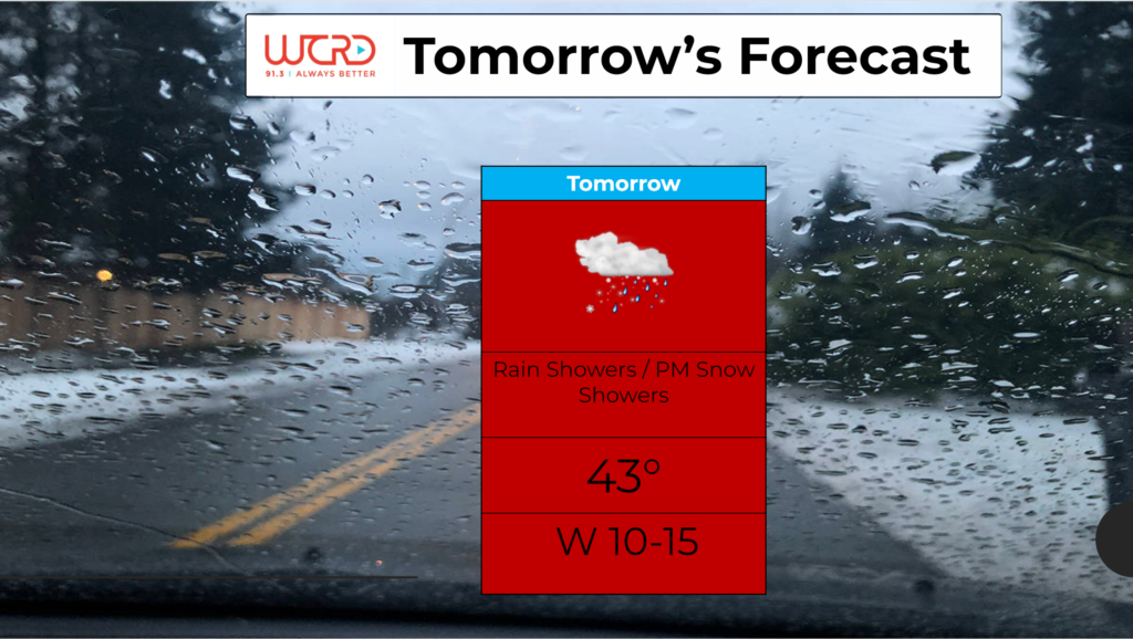
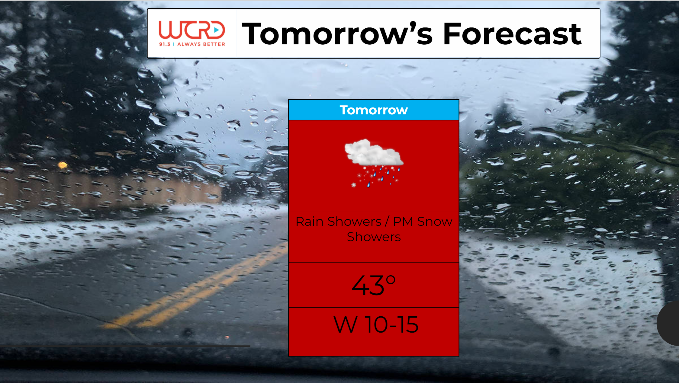

Tonight: Temperatures descend into the lower 50s by early tomorrow morning. Skies will be clear overnight and winds will be light out of the southeast at 5-10mph. Tomorrow: You may […]

Tonight: Expect another mild October night, with lows only dropping down into the lower 60s. Winds will come out of the east at 10mph and skies will be partly cloudy. […]

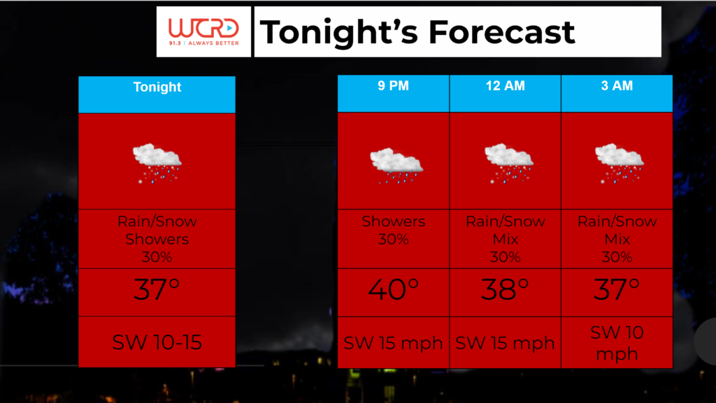
Tonight: Winds will be light out of the northwest, which will help bring in cooler air. Temperatures will fall to near freezing during the overnight hours. Skies remain mostly cloudy […]