Short Range Forecast

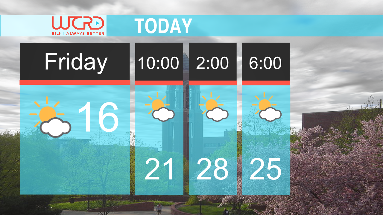
High pressure will dominate the region over the next couple of days. As for today and tomorrow, high pressure will alleviate any cloud formation for the area. Coupled with extreme ridging aloft, temperatures will soar into the high 80’s to low 90’s. Few clouds are expected to spill into our area from the Missouri River Valley this evening but dissipate quickly due to the extreme dry air in the area. Tonight Temperatures are expected to fall into the upper 50’s as the result of the lack of cloud cover and dry air. Calm winds around 5 mph will continue to blow out of the East to Northeast throughout today and tomorrow.
Long Range Forecast

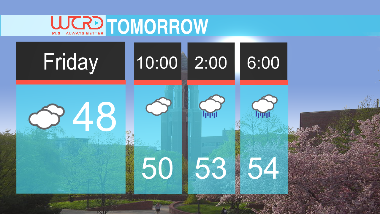
Extreme ridging aloft will cause temperatures to be unseasonably warm this week as high will remain in the upper 80’s and lower 90’s. Dewpoints in the upper 40’s and lower 50’s will cause the relative humidity to be around 30% to 40%. With the Muncie area already being classified as an abnormally dry (D0) area by the National Drought Monitor, there is a chance of elevated fire risk throughout the week. Temperatures should return back to seasonable this weekend and early next week, with highs in the mid to upper 70’s and lows in the mid to lower 60’s. Models are showing a slight chance of showers this weekend, however at this time there is much disagreement on strength and timing. These showers will help with this weekend’s cool down and return to normal temperatures
Weather Director Tyler Miller
September 15, 2025