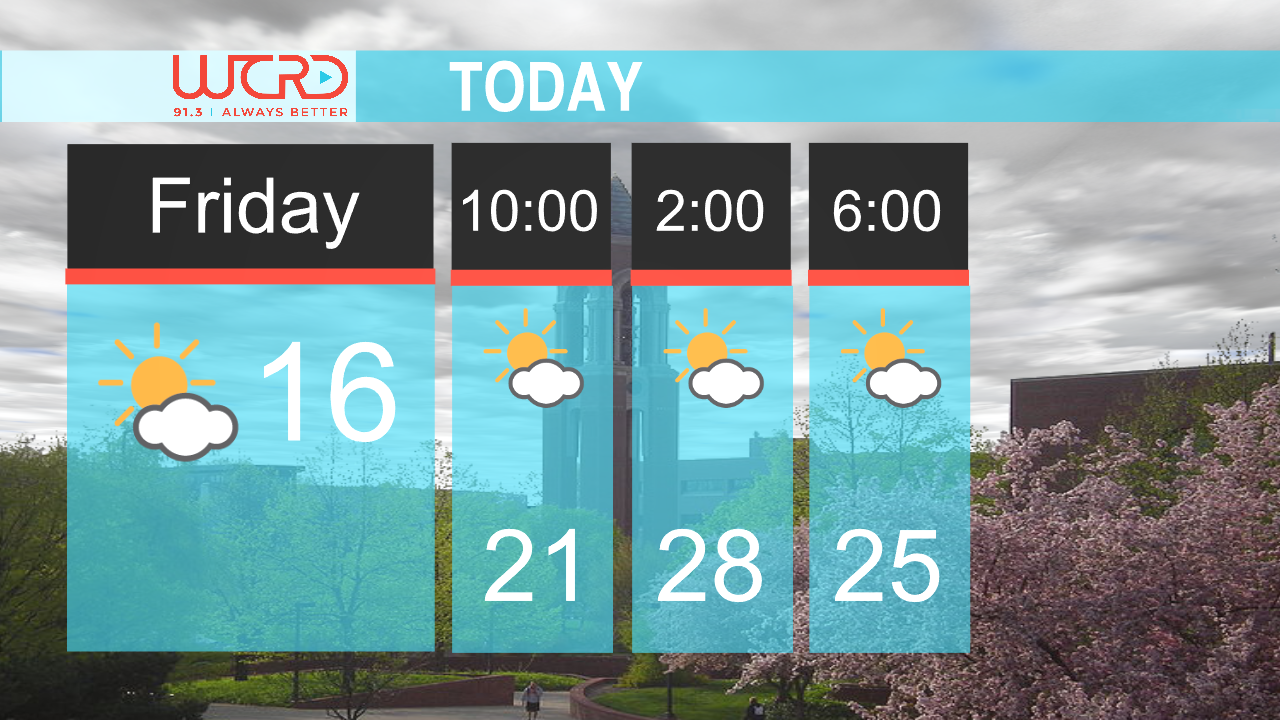
Cooler temperatures will kick off the work week with Highs in the mid 60’s and gradually falling off. A band of high pressure following this past weekend’s cold front has settled into the area giving us partly cloudy to mostly sunny skies for today. A small chance of scattered showers is predicted for tonight, as some left over showers linger in the area. Winds will be around 10 mph throughout the day with wind gusts peaking around 20 mph.

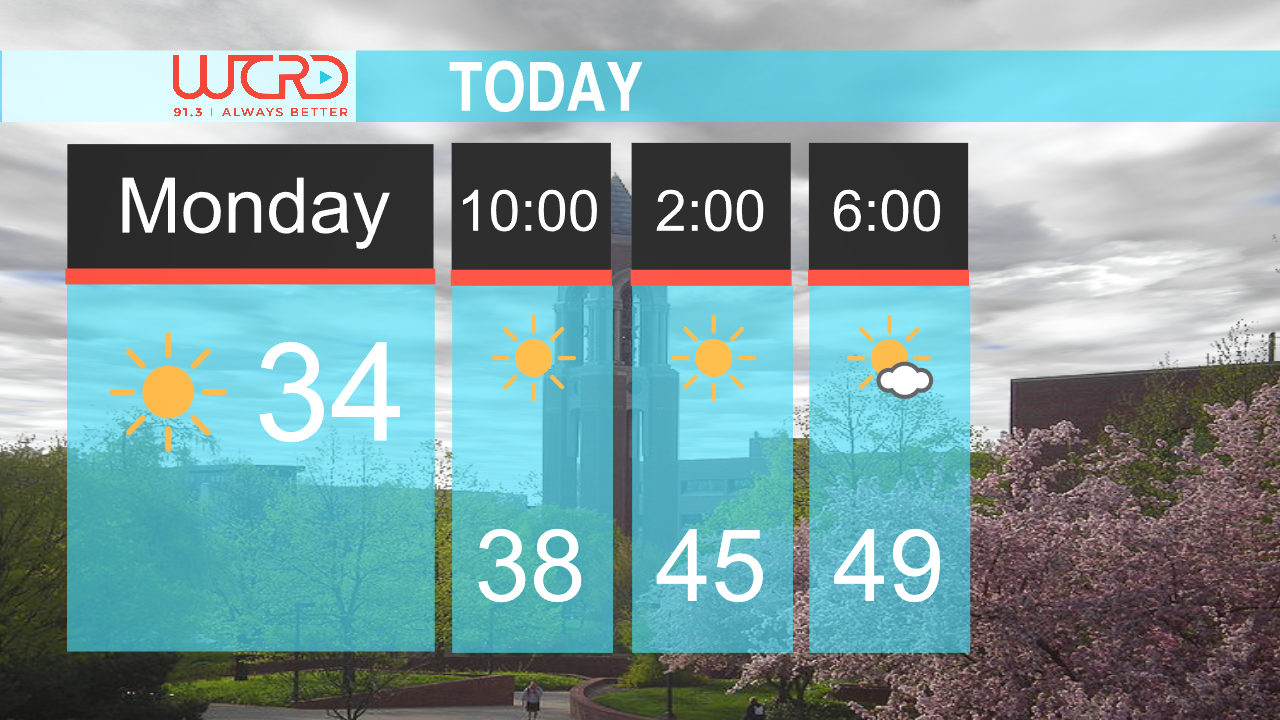
The next few days are going to look identical to each other as this high pressure continues to dominate the area. Clouds area going to be few and far spread throughout the week as temperatures drop into the high 50’s later in the week. A frost advisor may come into play as well with lows dropping to near freezing temperatures, however, stronger winds than what we have been seeing may deter any frost formation.
- Weather Director Tyler Miller