Forecast Time: 1200
Forecast Period 2024/09/04 – 2024/09/11
Forecaster: Weather Director Tyler Miller
Highlights:
Return to Normal Temps
Chance of T-Storms Fri afternoon – evening
Kickoff Forecast – Lingering Clouds with Fall like temps.
Short:
Temps are expected to warm as high pressure dominates the NW portion of the OH valley, bringing minimal colds with occasional breeze out of the W-SW by Thursday. Friday has a likely chance of showers to occur late Friday afternoon into early Saturday morning before temperatures dive off to give us the first taste of fall.
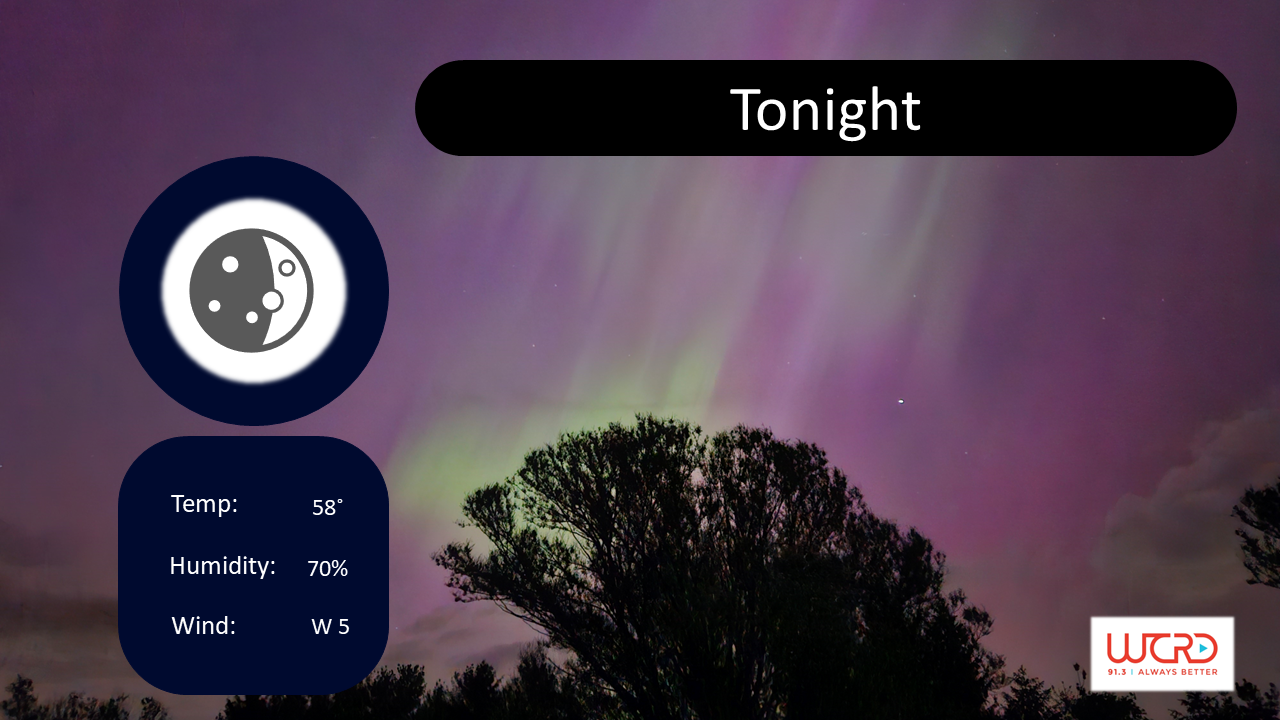
Wed Night and Thurs:
Skies are expected to remain mostly clear into as temperatures dip down to a low of 58 around 7:00am with the potential for patchy fog in low lying areas. A slight breeze out of the NW of about 5 mph is expected throughout the night and will continue into the morning with gusts up to 10 mph all day Thursday. Thursday’s temperature will climb to a high of 91, while remaining mostly clear all day. The first chance of rain will be Friday afternoon, as a cold front moves across the Great Lakes Region a line of storms is expected to move across the northern part of the state with a chance of scattered showers Friday afternoon and even into Friday night. The rain will hinder daytime heating, resulting in a high of 80 for Friday and a low around 53.

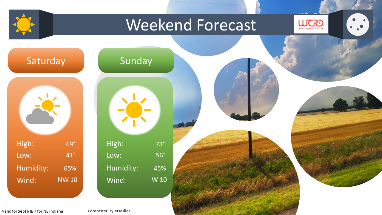
Sat – Football Outlook
Remaining scattered showers are possible early Saturday morning, by noon clouds should be moving out of the area, resulting in a beautiful day for the Cardinals home opener against the visiting Missouri State Bears. Kickoff is at 2:00pm Eastern Daylight Time, Conditions are going to be perfect for the game, Sunny with a high of 69 to kick off the football season. Looking towards early next week, Temperatures are expected to be well below average, almost mid fall like, with conditions much like this week, sunny and with few to no clouds to start the week. A chance of rain may be possible by mid-week.
National
Yellowstone is expected to get the first snow of the season, as a low-pressure system works its way down to into the Northwestern Plains bringing showers to most places in Eastern Montana, Wyoming, and the Dakotas with chances falling off the further Southeast. Most of Louisiana and parts of Mississippi remain under a Flood Warning as both states are expected to receive and upwards of 8 inches of rain over the next 24 hours. This will be primarily caused by the Low-pressure system centered over Shreveport, La and the thunderstorms associated with the warm front spanning eastwards. By the Weekend a cold front is expected to move further south giving most of the Central Midwest and parts of the South, the first taste of fall temperatures.